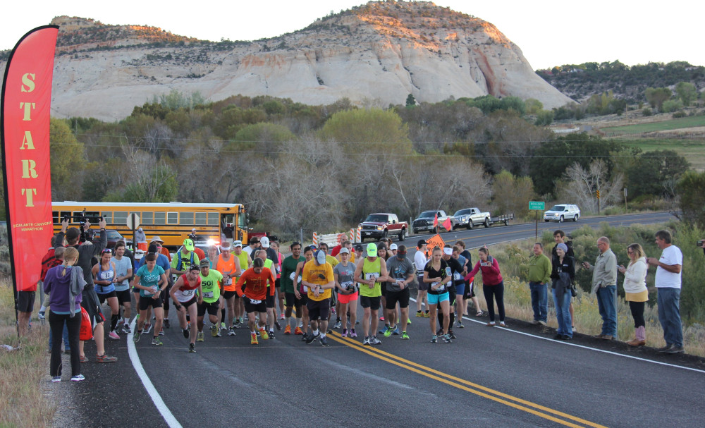
Escalante Canyons Marathon
Marathon, Half Marathon & 5K Fun Run
Race Day: Saturday, October 14, 2023
THE TIME IS DRAWING NIGH!
We want to wish you all well as you travel to and run through the Escalante Canyons. This year is more unpredictable than usual, and we encourage you to prepare for a race like none other, ever. We’re doing our utmost to ensure a great experience with a little help from the solar eclipse. We hear there may be a few clouds, but there’s just no such thing as anything less than glorious in the Escalante Canyons. Gather the energy from the day and use it to make your way in whichever race you’re running.
We’ll see many of you tomorrow at race packet pickup and the pre-race dinner, and we’ll see everyone on Saturday! The weather will be chilly but there’s a promise of ideal race conditions. We do expect significant traffic, so please keep your antennae up as you run and drive.
Here’s wishing each and every one of you the best of luck on Saturday. Most of all, be safe and enjoy!
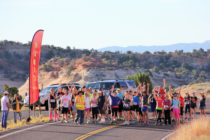
WELCOME, 2023 RUNNERS!!
This year promises an extraordinary race! Whichever one you’re running — the marathon, half, or 5K — how lucky you are, and, we promise, your efforts will be so worth it.
Besides the total beauty and solitude and wildness of the courses, this year coincides with an annular solar eclipse. In the Escalante Canyons area, the eclipse will begin around 9 a.m., be at its maximum around 10:30 a.m., and end shortly before noon on October 14th, race day.
What could be better than running during such a solar event in the wilderness of southern Utah?!
Okay, here’s the downside. Lodging is filling up rapidly, and we urge you to jump on this opportunity as soon as you can. Otherwise, tents and sleeping bags may have to suffice, but hey, nothing wrong with that.
If you have questions about lodging, in short order we’ll post a spreadsheet of all possible options, noting that several are already completely booked. We’ll let you know when the spreadsheet has been posted, and we also encourage you to do your own research. What won’t be so easy is to wait until the last minute this year (unless you’re willing to sleep in your car!),
This could be one of the most glorious experiences of your life, so go for it, and we can’t wait to see you in October!
Your content goes here. Edit or remove this text inline or in the module Content settings. You can also style every aspect of this content in the module Design settings and even apply custom CSS to this text in the module Advanced settings.
Race Day: October 14, 2023
Marathon Course is USA Track & Field Certified
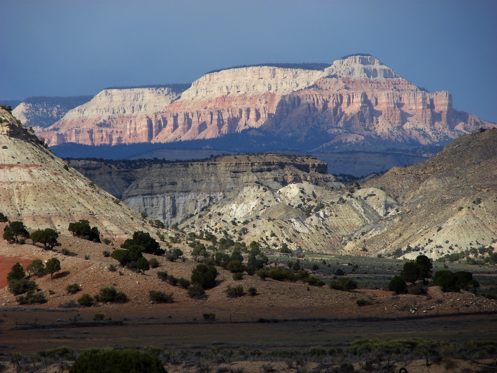
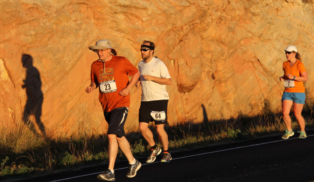
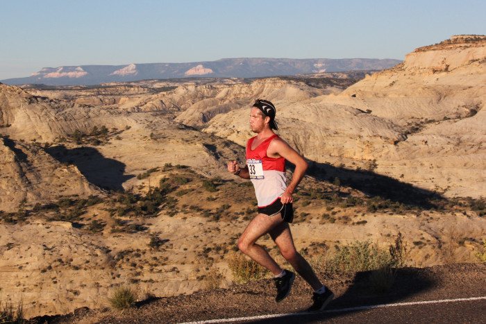
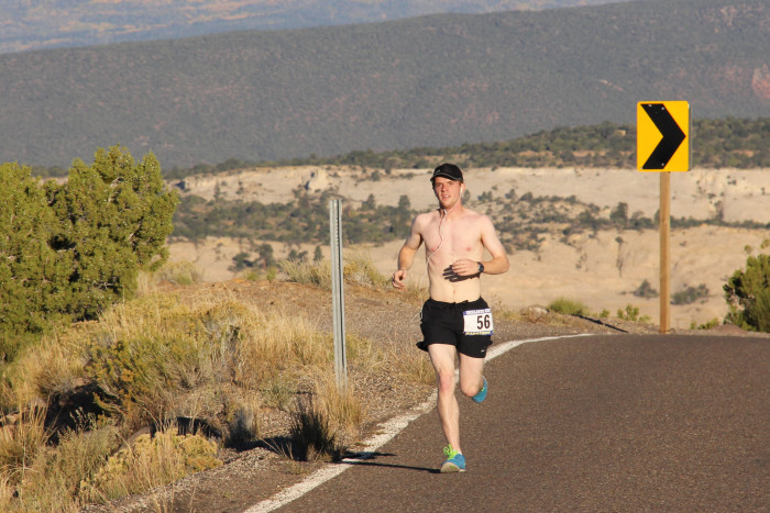
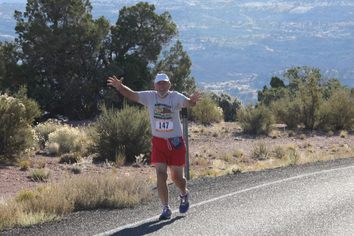
Come and experience races like no others. The Escalante Canyons Marathon and Half Marathon Run offer wildly scenic vistas across a landscape of unmatched ruggedness, a course with dramatic topography, pristine air, and a profound sense of serenity.
The full marathon course has been certified by the USATF and is a Boston Marathon qualifying event.
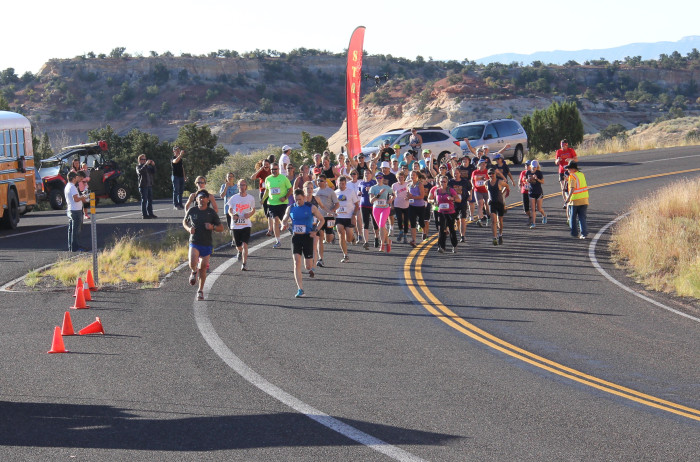
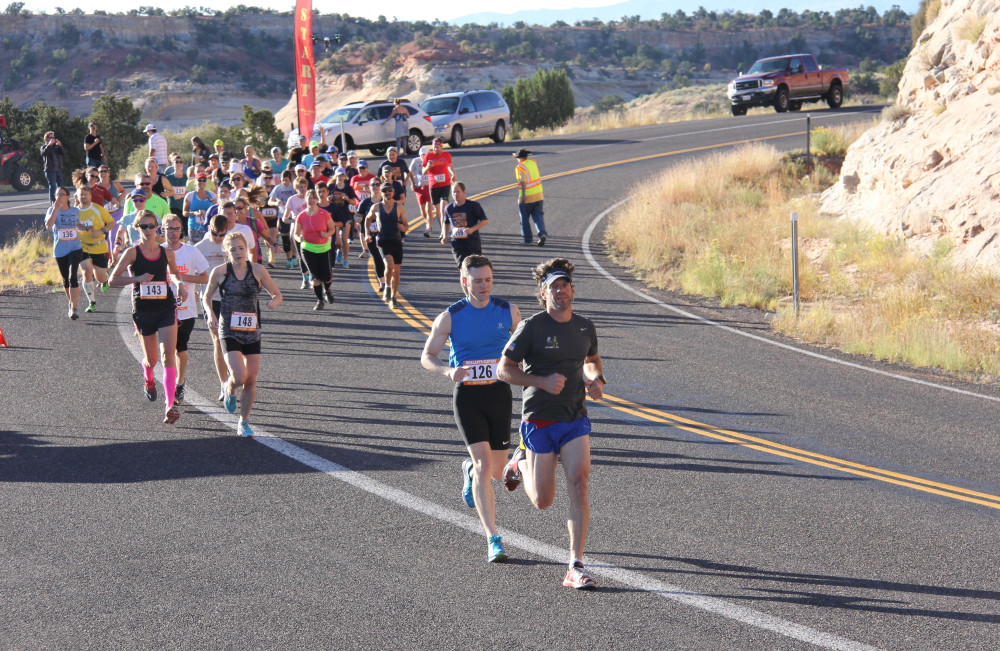
Marathon
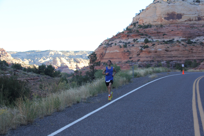
The marathon follows Utah’s All-American Scenic Highway 12, which has been called one of the the world’s most beautiful roadways. The race starts in Boulder, Utah, and finishes in Escalante. You will experience canyons lined with majestic sandstone cliffs, the famous Hog’s Back ridge, and the spectacular Calf Creek Canyons. After crossing the Escalante River, you’ll climb through rich red rocks that lead to unique limestone slickrock hills and washes …
Half Marathon
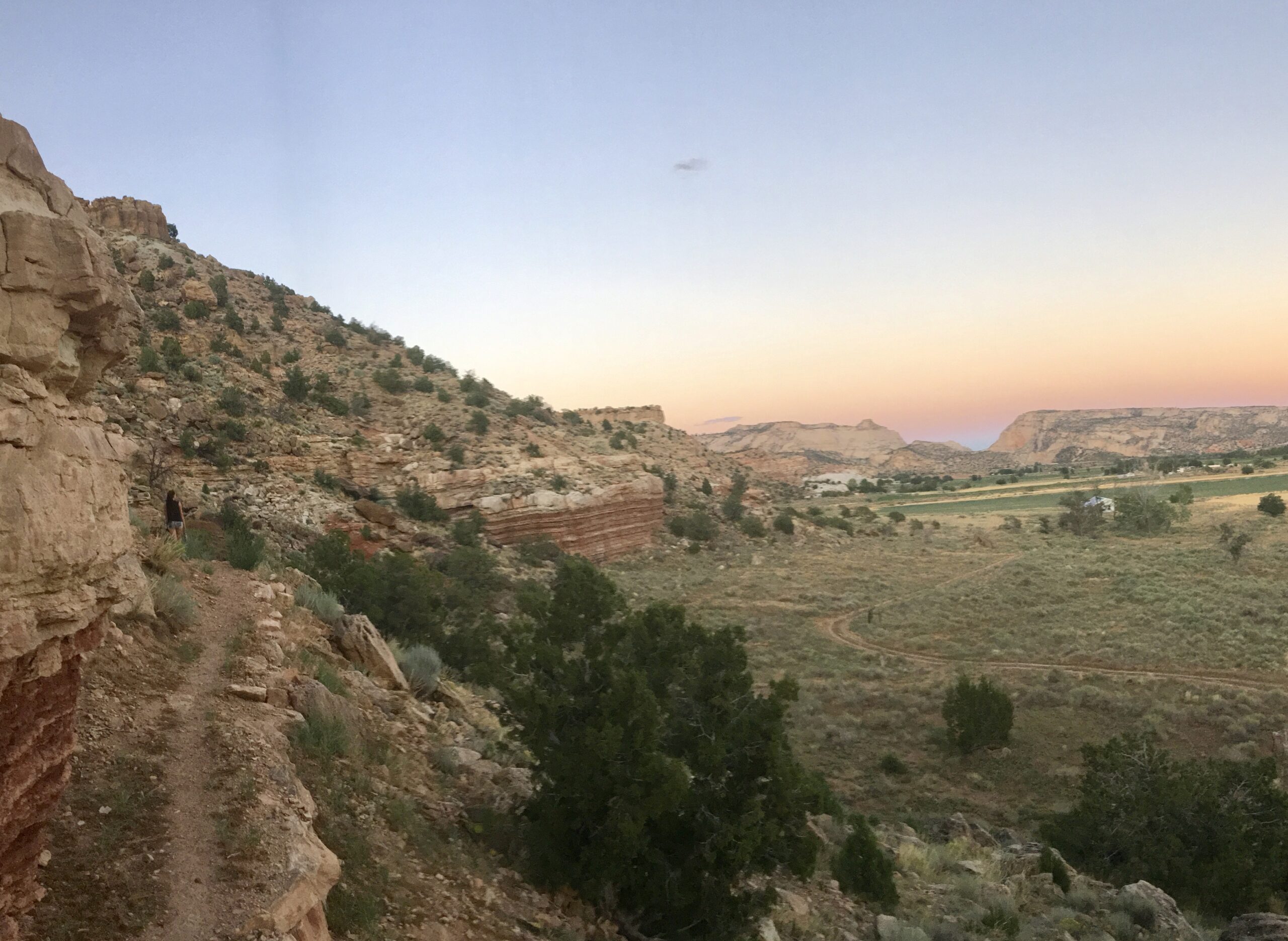
The half-marathon follosw the last half of the marathon course You will find the first three miles of the course to be a challenging uphill run through some of the most amazing slickrock vistas in Escalante Canyons, followed by a long downhill stretch to the finish line through sagebrush rangelands bounded by a background of cliffs (the “staircase” of the Grand Staircase-Escalante National Monument) …
What Runners Are Saying
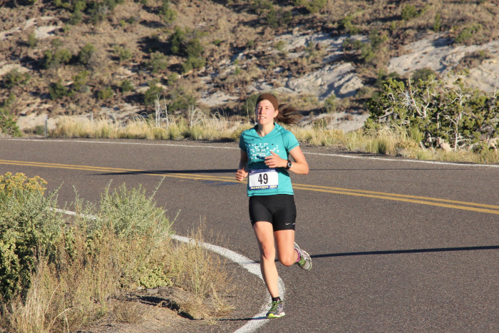
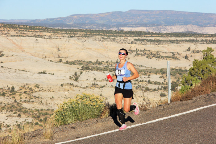
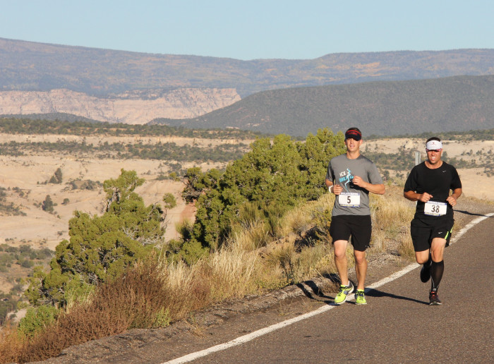
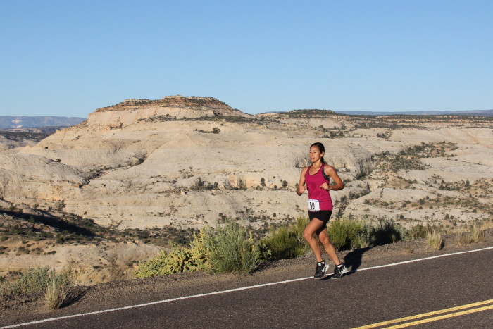
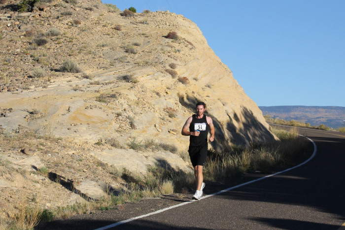
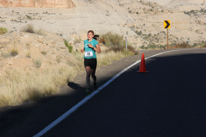
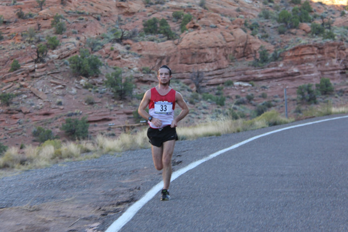
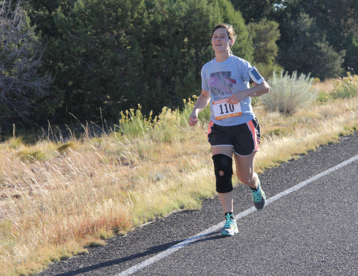
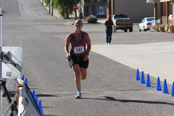
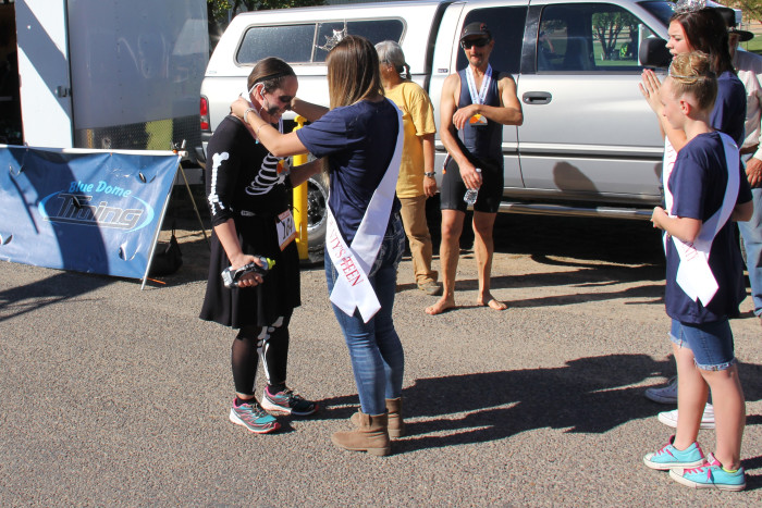
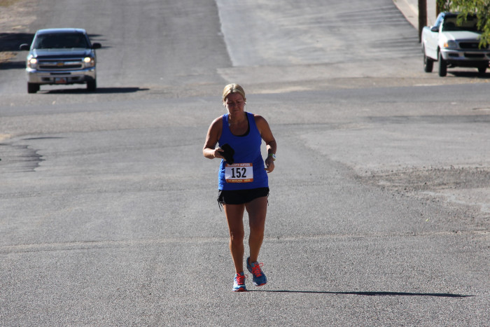
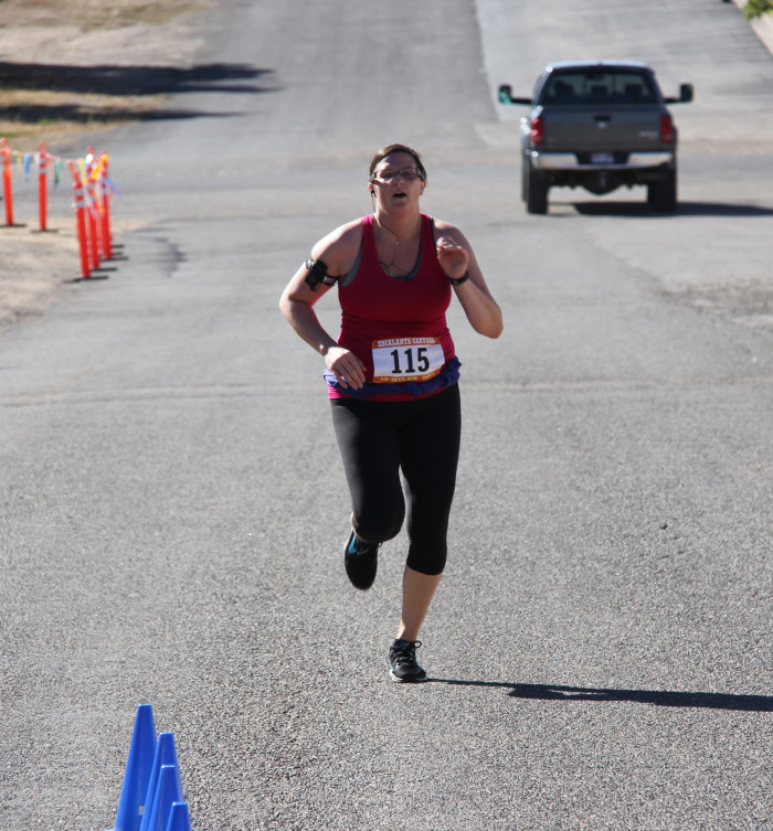
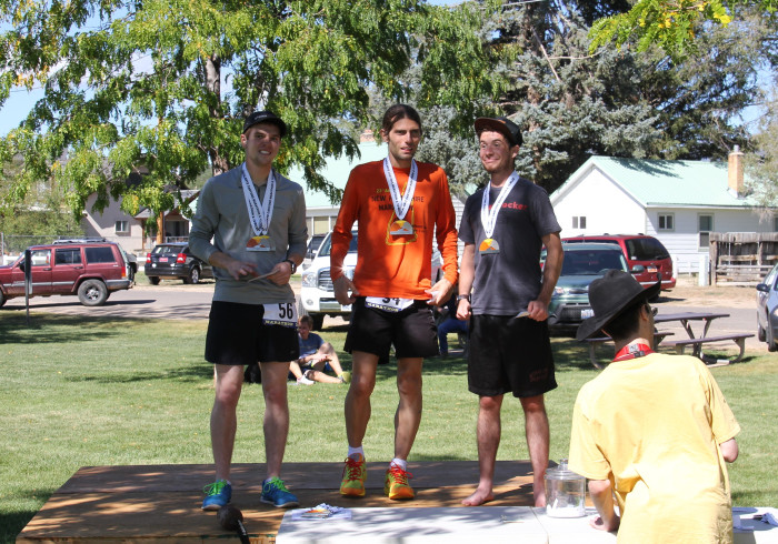
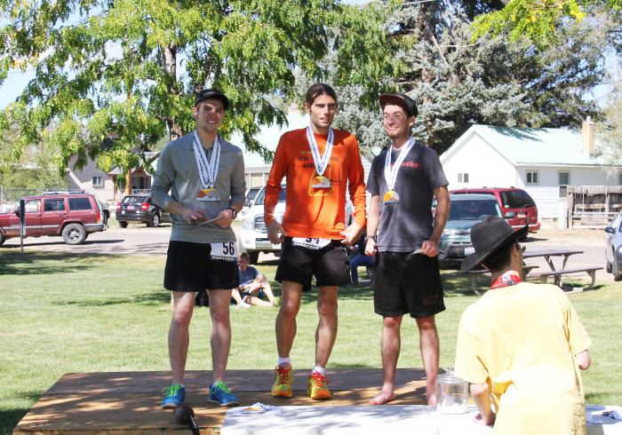
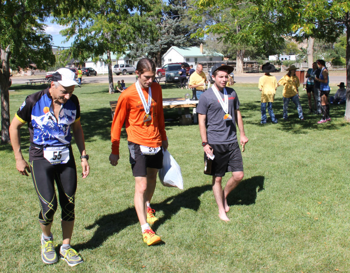
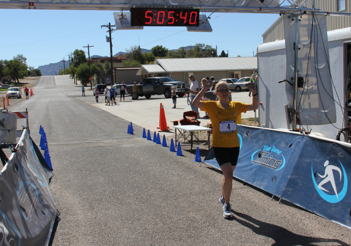
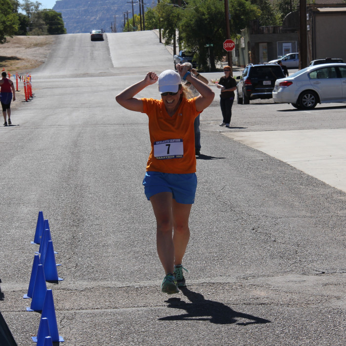
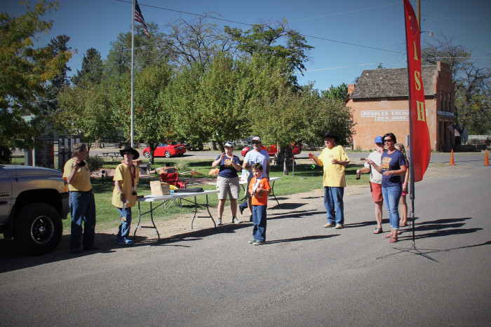
Gallery